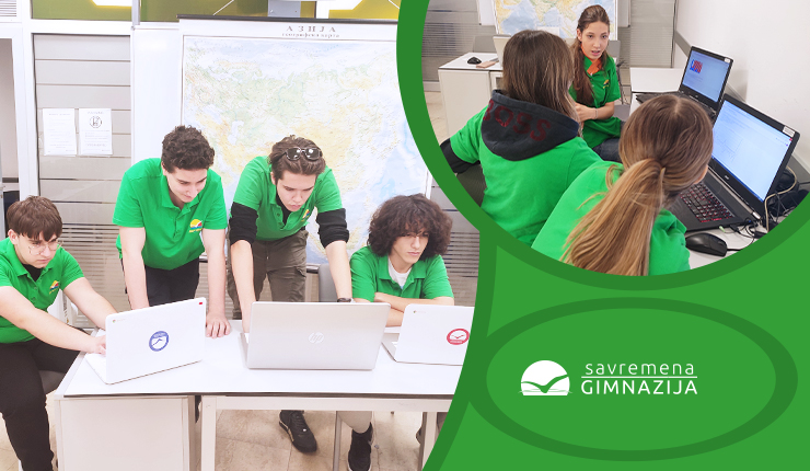
Second-year students recently achieved notable success through an interdisciplinary project that combined Geography and Computer Science. The project focused on researching the geographical characteristics of Asian regions, providing students with the opportunity to utilize their research, programming, and data visualization skills. The teachers who implemented this interdisciplinary project were geography teacher, Senada Nikolić, and computer science and informatics teacher, Nataša Obrenović-Filipović.
How Students Use Python to Explore Asia
Throughout the project, students engaged in deep research on various aspects of Asia, using diverse data sources and tools. They analyzed key socio-geographical characteristics such as the size of countries, population, natural increase, and GDP per capita, providing profound insights into the complexity of the regions.
After collecting data, students used their programming skills, particularly the Python programming language, to create visually appealing presentations that clearly depicted the gathered information. This process not only led to the creation of impressive works but also allowed students to gain a deeper understanding of geographical concepts and digital presentation skills.
The results of the project are outstanding, highlighting the creativity, engagement, and progress of students in developing new skills. Through the integration of knowledge from different disciplines, students demonstrated the ability to combine different skill sets to solve real-world problems. This project not only enriched their academic experience but also encouraged their ability to think interdisciplinary and creatively.


